San Marcos Elite Concrete works as a concrete contractor in McQueeney, on ground that is the quiet exception in a region famous for the opposite. These are Guadalupe River terrace soils, and the numbers say they barely move. Sunev, one of the two dominant components, carries a representative linear extensibility of only 1.5 percent, a plasticity index of 15 and 26.5 percent clay.
That changes what a slab here has to be. Across the map units evaluated, covering 77.0 percent of the place, only 12.9 percent of the polygon is Vertisol-order soil and only 12.9 percent carries a representative linear extensibility of 9 percent or greater. Lewisville silty clay on 0 to 1 percent slopes, the largest single unit at 21.51 percent, measures 7.5 percent.
The second thing to know is that nobody will inspect the result. There is no city here and no residential building permit in the unincorporated county, so the quality of what goes under your concrete rests entirely on who you hired and what they wrote down. Twenty years on this corridor has taught us that this is exactly where documentation earns its keep.
The Low-Movement Exception
Sunev and Lewisville, and What Terrace Soil Actually Is
River terrace soils are alluvial deposits left by the Guadalupe over time rather than clay weathering in place from marl, and that origin is why they behave differently. Sunev loam covers 15.73 percent of the place on 0 to 1 percent slopes and a further 10.04 percent on 1 to 3 percent.
Lewisville silty clay, the largest unit, carries 46 percent clay and a plasticity index of 29 but a linear extensibility of 7.5 percent, which is well below the ground a few miles inland. Clay content and movement are two different measurements, and on this terrace they come apart in the direction that favors the person buying a slab.
Where the Movement Actually Is
The moving ground here exists, and the useful thing is that it is locatable rather than general. Branyon clay on 0 to 1 percent slopes covers 6.61 percent at a linear extensibility of 13 percent, Houston Black gravelly clay on 3 to 5 percent slopes 4.02 percent at 12 percent, Tinn clay frequently flooded 4.31 percent at 10 percent, and eroded Heiden a further 3.38 percent.
Together that is a modest share of the place, and it is mapped. We check the unit under your address rather than applying an average, because being on one of those pockets means designing the slab the way we would inland, and being off them means not paying for that design.
No Rock, and No Bedrock Excavation
The other constraint that is absent here is rock. No map unit in the place carries rock outcrop as a named component, and none of the evaluated area has a root-restricting layer within 50 centimeters.
So excavation is a question of volume and access rather than of hardness, and footings, grade beams and trenches can be taken to the depth the design wants without a hammer in the bid. Between that and the stable subgrade, McQueeney is genuinely one of the more predictable places we pour in this service area.
What Changes When the Subgrade Is Stable
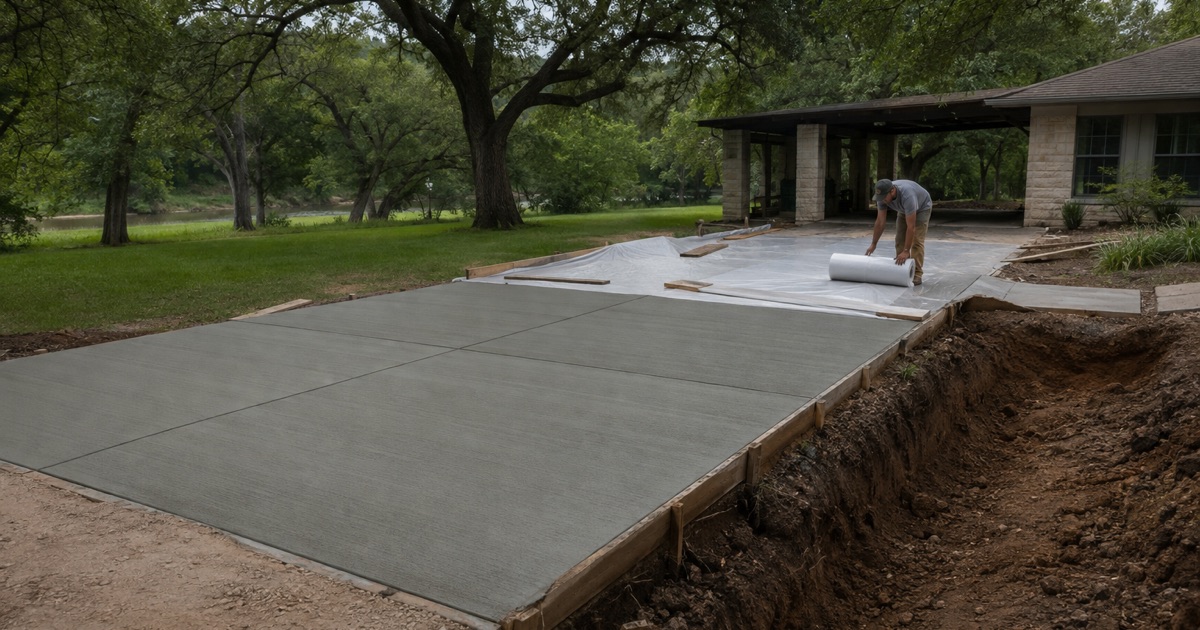
A stable subgrade does not mean a thin slab. It means the design stops spending money on resisting seasonal movement and spends it on the things that actually determine how the surface lasts: thickness for the load, even support across the footprint, correct joint spacing for drying shrinkage, and curing.
It also means joint spacing is a shrinkage question rather than a soil one, and that a slab here should not develop the stepped, offset cracking that clay produces. If it does, something else is wrong, and we would want to look at drainage and support rather than blaming the ground.
Looking for concrete-contractor closer to Shady Hollow? See Shady Hollow Concrete-Contractor.
Water Is the Design Problem Here, Not Clay
Open Water and Flood-Phase Ground
About 7.97 percent of the place polygon is mapped as open water, which is Lake McQueeney and the Guadalupe River channel inside the boundary. Roughly one part in twelve of the named place is water.
On top of that, about 8.9 percent of the polygon sits in map units that carry a flooding phase in their own name: Tinn clay frequently flooded at 4.31 percent, Tinn clay occasionally flooded at 2.37 percent and Seguin silty clay loam flooded at 2.25 percent. Water, not clay, is the condition that shapes where and how concrete goes in here.
The Floodplain Permit and What It Attaches To
Guadalupe County participates in the FEMA National Flood Insurance Program, and its subdivision regulations name FEMA and the county’s flood damage prevention regulations among their regulatory authorities. Where a slab lands inside mapped flood hazard ground, the floodplain permit is the approval that attaches to it.
That is a real distinction on a place with this much water in it, and it is worth settling before design rather than after. We check the mapped classification for the specific parcel and tell you what it means for the work, the paperwork and the timeline before anything is committed.
Waterfront Slabs, Ramps and Bulkhead Aprons
Lake McQueeney was drawn down and refilled recently: refilling began on March 17, 2026 and the lake returned to its normal pool elevation of 528.83 feet mean sea level on April 21, 2026. Waterfront flatwork here has been through a full drawdown and refill cycle under its current owners.
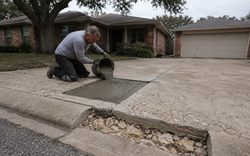
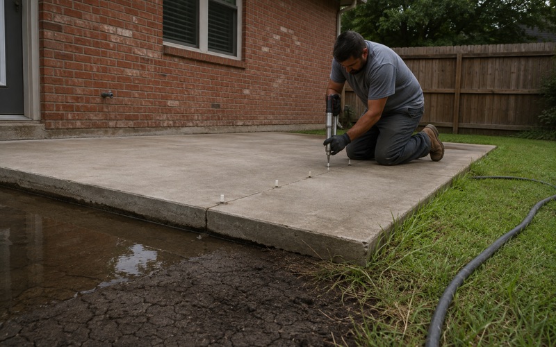
Concrete at a bank edge fails at its foundation rather than on its surface, through erosion and loss of support. We look at what is under the leading edge before quoting a repair, because relaying a slab over an undermined bank is work you buy twice. Where the concrete is sound and the support is not, filling the void is usually far cheaper than replacement.
Ditches, Culverts and Where Roadside Water Goes
The county ties roadside ditch geometry directly to the driveway culvert, and the arithmetic is worth knowing. Minimum ditch depth measured from the edge of the street pavement equals the culvert pipe diameter plus 9 inches, bottom width equals the pipe diameter, and side slopes are 3:1 or flatter.
Pipe for cross drainage, parallel drainage, storm drains and driveway culverts is limited to reinforced concrete pipe, reinforced concrete box or corrugated metal, and fittings and wyes must be precast rather than cast in place without approval. We set culvert inverts against the ditch flow line rather than against the driveway surface, because a culvert set to suit the concrete stops the ditch working.
Nobody Inspects a Residential Slab Here
What the Absence of a Permit Actually Means
McQueeney is a census designated place rather than an incorporated city: no city hall, no municipal code, no zoning ordinance and no city building department. There is no building permit for residential construction in the unincorporated county either.
That is freedom and exposure in the same sentence. Nothing stops a good contractor building properly, and nothing catches a bad one. There is no inspector who will look at your subgrade, your base, your steel or your thickness, so the only record of what went under your concrete is the one your contractor chooses to make.
What We Do Instead of an Inspection
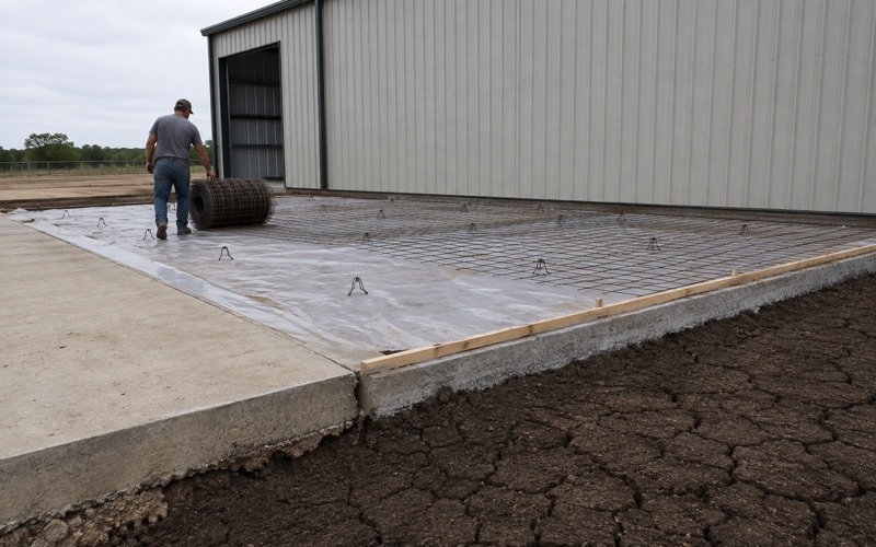
We photograph subgrade, base and steel before every pour and give you the file, and we hand over the delivery ticket for each load, which carries the machine stamped batch time and date, the weights of cement, fly ash, sand and aggregates and the admixture names and quantities.
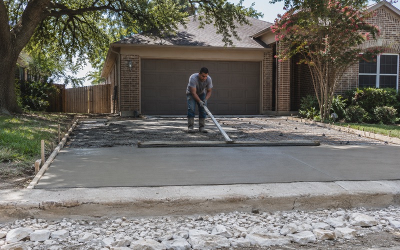
We also put the mix, the thickness, the reinforcing and the joint schedule on the quote rather than leaving them to be assumed. Where nobody else is checking, those four numbers written down in advance are what makes a bid comparable and a finished slab accountable.
The Driveway Permit, and Where County Authority Stops
The one permit that reliably applies to residential concrete is the driveway permit inside county right-of-way, issued by the Guadalupe County Road and Bridge Department. Its authority runs to the apron in the right-of-way and no further.
Lot setbacks in platted subdivisions are 20 feet from a county right-of-way and 10 feet at the side, which constrains where an apron, parking pad or accessory slab can begin relative to the road. Where a property fronts a state-maintained road instead, the state’s requirements for driveways and drainage apply rather than the county’s, and we establish which before drawing.
What Is Not Regulated Here at All
There is no dumpster pad rule for McQueeney. The county has no solid-waste collection chapter, no site design standards and no screening ordinance for unincorporated territory, and the subdivision regulations say nothing about refuse containers, enclosures or pads.
Commercial refuse here is a private contract with a hauler rather than a permitted site element, which means the pad specification is whatever you and we agree it should be. We build those to the loading that actually breaks pads, with thickness, reinforcing and an approach sized for the truck rather than for the surrounding lot.
- 20+ Years in Business
- Insured
- Free Written Estimates