San Marcos Elite Concrete works as a concrete contractor in Manchaca, on ground that behaves differently from almost everything around it for a reason that comes down to chemistry. The dominant soil here reads as expansive on both of the measurements that matter at the same time, which is not the usual pattern in this survey area.
The soil is Crawford clay. Its A horizon from zero to fifteen centimeters carries a representative plasticity index of 36 and liquid limit 64 at 50 percent clay, and its Bss horizon from fifteen to eighty-one centimeters carries plasticity index 37 and liquid limit 65, with linear extensibility of 10 and 11 percent and calcium carbonate of only 1 percent.
That last figure is the one doing the work. Twenty years on this corridor has taught us that a slab is designed against how much the ground actually changes dimension, not against how plastic it is, and on most soils near here those two numbers disagree. In Manchaca they agree, and the answer is a slab built for real movement.
Why Two Soils With the Same Plasticity Index Behave Differently
Calcium Carbonate, and How It Suppresses Movement Next Door
Across much of this survey area, high plasticity indices come with suppressed linear extensibility, because those profiles run 55 to 65 percent calcium carbonate. Carbonate-rich clay tests as plastic and does not swell to match.
Crawford here runs 1 percent carbonate. Nothing is suppressing the shrink-swell, so the linear extensibility figure comes in at roughly double what the shallow calcareous soils in the same county report. It is the same clay content telling a completely different story about what will happen under a slab.
Denton, on the West Side, Is the Contrast
A point query on the west side returns Denton silty clay at 88 percent Denton, whose horizons carry a representative plasticity index of 32, 30, 30 and 26 from the surface to 91 centimeters at 41 to 46 percent clay. Those are not far off Crawford’s numbers.
Its linear extensibility is 6.1, 5.6, 5.6 and 3.3 percent, because calcium carbonate climbs from 10 percent at the surface to 60 percent in the lower horizons. Two soils in one place with comparable plasticity and roughly a factor of two between their measured movement. Both numbers have to travel together in any honest sentence about this ground.
The Northeast Corner Is a Third Condition
The northeast returns Castephen silty clay loam at 95 percent Castephen: a zero to forty-three centimeter layer at plasticity index 27, liquid limit 42.5, 33.5 percent clay, linear extensibility 4.5 percent and 55 percent calcium carbonate, over weakly coherent paralithic material at forty-three centimeters.
So the place carries weathered, rippable material at knee depth on one side and nearly a meter of active clay on the other. A single design applied across Manchaca is wrong somewhere, which is why we check the specific parcel before pricing rather than after.
Deep Clay, Not the Escarpment
Crawford carries indurated material at a representative eighty-one centimeters, about thirty-two inches, with the slickenside horizon running the full fifteen to eighty-one centimeters above it. Denton’s is at ninety-one centimeters.
A slab here therefore sits on nearly a meter of active clay. That is the opposite of the escarpment condition a few miles west, where excavation is the expensive part and movement is negligible. Here excavation is straightforward and movement is the whole design problem.
Looking for concrete-contractor closer to Canyon Lake? See Canyon Lake Concrete-Contractor.
What That Means for the Slab
Thickness, Steel and Founding Depth
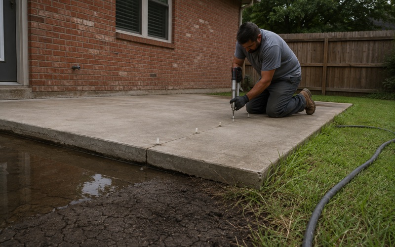
On ground that changes dimension by 10 to 11 percent through the horizon a slab sits over, thin lightly reinforced flatwork has neither the stiffness to bridge movement nor the mass to resist it. It cracks into pieces that then move independently, and that is where the stepped edges come from.
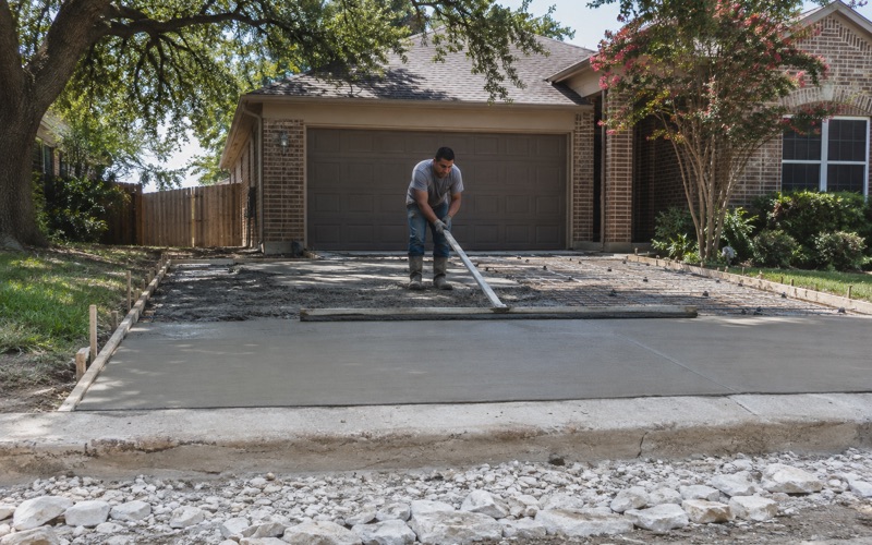
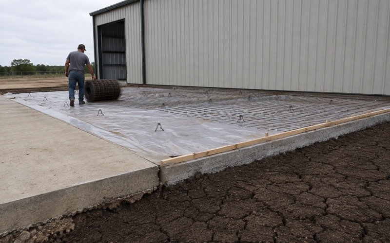
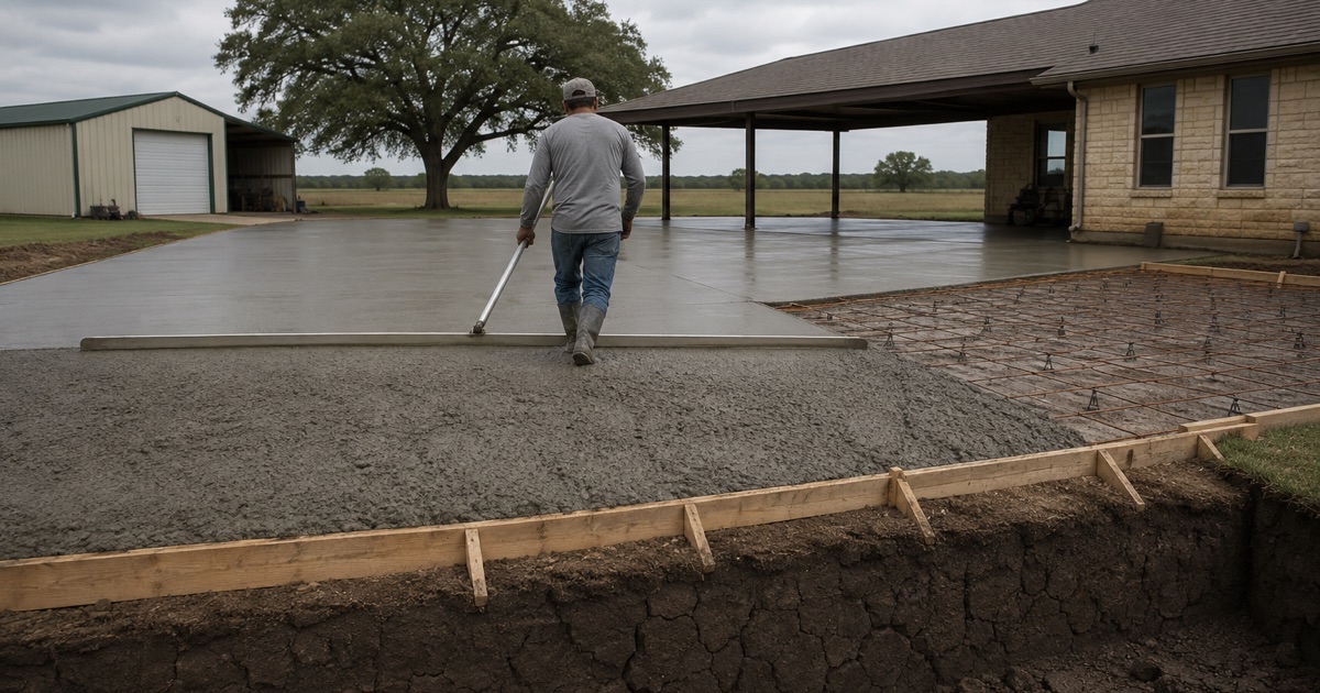
We answer with thickness sized to use rather than habit, reinforcement tied and chaired at mid-depth rather than dragged to the base, thickened edges where a slab is unrestrained, and moisture conditioning of the subgrade before compaction. Clay compacted dry takes up water later and swells under your concrete.
Joint Spacing Cut to the Slab
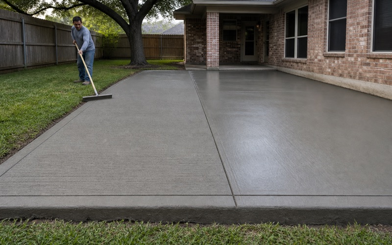
Joint spacing is where deep uniform clay is least forgiving, because the movement is consistent across the whole slab rather than concentrated at a boundary. We cut control joints to the published schedule at twenty four to thirty six times the slab thickness, capped at fifteen feet, with panels held inside a one and a half to one aspect ratio.
Timing matters as much as spacing. A sawcut made after the concrete has already relieved itself is decoration rather than a joint, and on this ground the slab will not wait politely. We cut on schedule rather than when it is convenient.
Flat Ground and Nowhere for Water to Go
Slopes across the place run 0 to 3 percent. That is flat, so drainage falls rather than grade are the design problem, and a slab on Crawford clay at 0 to 1 percent has nowhere to shed water except where the contractor puts it.
Moisture control at the slab perimeter is also a movement control on this soil, since clay that stays wet under one edge and dries at another moves differentially. We set falls deliberately, keep downspouts and yard drainage away from slab edges, and give any granular base an outlet instead of letting it hold water.
The Creek Bottoms Are a Different Material Entirely
Two of five sample points across the place fall in mixed alluvial land, frequently flooded: a single layer from zero to 122 centimeters at 90 percent sand and 5 percent clay, plasticity index 2, linear extensibility 1.5 percent and 65 percent calcium carbonate.
The creek bottoms here are sand and gravel with a flood condition rather than clay, and a bid written for Crawford is wrong on them in both directions. Four watersheds run through this one place, draining toward Onion Creek and then the Colorado, so which one a parcel sits in matters to the drainage design as well as to the permitting.
Who Permits What, and Who Does Not
No Building Permit for a Slab, and What Fills the Gap
This is unincorporated Travis County inside the City of Austin’s two-mile extraterritorial jurisdiction. No authority issues a building permit for residential flatwork here: Texas counties have no general building-code authority and Austin does not permit buildings in its ETJ.
There is no county or city permit for a patio, walk or slab outside the right-of-way, and the county’s single-family permit list has no flatwork category. What does need a county permit alongside a driveway is a retaining wall, with the site plan sealed by a Texas licensed engineer for any wall over five feet, plus an on-site sewage facility permit where the lot is on septic.
The One Outside Look at Your Reinforcement
New residential construction is inspected at the foundation stage before the placement of concrete under the county’s residential construction standards, by a third-party inspector the builder contracts, with the report filed within ten days of final inspection.
On this soil, that inspection is the only outside look anyone takes at the reinforcement before it is covered. For flatwork outside that regime there is no inspection at all, which is why we photograph subgrade, base and steel before every pour and hand the file over. On ground this active, a record of what is actually under a slab is worth having.
Driveway Approaches: County or State
A driveway approach onto a maintained Travis County road requires a county driveway permit and must be paved with concrete, at twelve feet minimum and twenty-five feet maximum width at the property or right-of-way line, approximately ninety degrees to the road, with a maximum approach grade of fifteen percent and a maximum two percent slope where a sidewalk crosses.
A driveway connecting to a state road takes a state permit instead, and the county states plainly that its own requirements do not apply on those roads. On a place organized around a farm-to-market road and a state-numbered arterial, establishing which authority owns your frontage is the first step of the job rather than a detail at the end.
Ditch Style, Culverts and a Pre-Pour Inspection
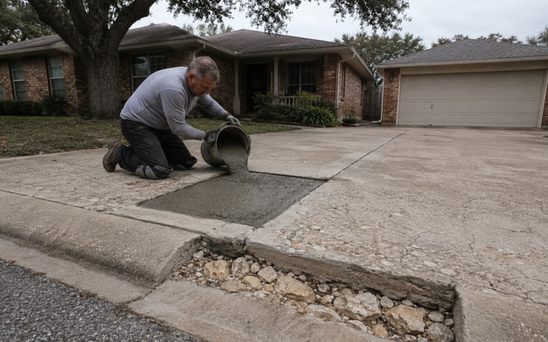
On the rural-section streets in the older part of the place, the approach style is set by the ditch: a straight tie-in where there is no ditch, a dip style where the ditch is under twelve inches deep, and a culvert style where it is deeper. Corrugated metal pipe is the only culvert material permitted in the right-of-way, at eighteen inches minimum diameter or a fifteen by twenty-one inch oval, and culvert-style driveways must include concrete safety end treatments.
A pre-pour inspection is required on a permitted approach before concrete is placed, and failing to call for it may result in a notice to remove and replace. Work cutting pavement in county right-of-way also carries a restoration bond with a minimum amount, a one-year duration and a pre-construction meeting requested forty-eight hours ahead.
Two Jurisdiction Errors Worth Avoiding
This Place Is Not in the Barton Springs Zone
All fifty-six sampled points across the place return a suburban watershed development type in the Desired Development Zone, and none returns the Barton Springs Zone or Drinking Water Protection. That is a measured result across the whole polygon rather than a reading taken at one convenient point.
That matters because the Save Our Springs impervious cover ceilings of fifteen, twenty and twenty-five percent of net site area apply to Barton Springs Zone ground and not here. Quoting them on a Manchaca job would be a jurisdiction error, and it is the kind that either kills a project that was fine or gives false comfort somewhere it does not apply.
The State Category That Does Apply
The place is outside the recharge and contributing zones on the city’s layer, and the state’s regulatory map returns the Edwards Aquifer Transition Zone at the center and west of the place and no zone at the northeast. So the place straddles the outer boundary of the regulated area.
The state requires a plan reviewed and approved before building on a regulated zone, with administrative review of up to thirty days and technical review of ninety. Those timelines sit ahead of the work rather than alongside it, which is why we settle the zone question for the specific parcel at the quote stage.
Floodplain Rules With Real Teeth
County floodplain rules require that new development or substantial improvement in the mapped floodplain not increase erosive water velocity on-site or off-site, require a Letter of Map Change for development that alters the floodplain, and require compensatory storage: fill or structure placed below base flood elevation must be balanced by a hydraulically equivalent volume of excavation below that elevation, draining freely to the watercourse.
There is also a no-rise requirement: no new construction, substantial improvement or other development, including cut or fill, is permitted in the named zones unless engineering data show no increase in water surface elevation and the relevant federal approval has been obtained. On flat ground with four watersheds crossing it, we check where a slab lands before designing it.
New Stock, an Old Core, and Manufactured Homes
The housing here skews new, with a median year built of 2014 and most units built in 2010 or later, so much of the work is first pours and additions rather than replacement. The exception is the old core, where a small number of units predate 1939 and a further group predate 1980.
Manufactured homes are about a tenth of the stock and they exist here in volume, bringing a different flatwork product: pads, steps, ramps and skirting aprons rather than subdivision driveways. Steps and landings are the item that moves on this soil, so we found them below the active layer and keep them structurally independent of the home.
- 20+ Years in Business
- Insured
- Free Written Estimates