San Marcos Elite Concrete works as a concrete contractor in Lake Dunlap, where the first question on almost every job is not what the slab is made of but whether it needs a permit before it can exist. Nearly two fifths of this place sits inside a mapped flood hazard area, and Guadalupe County’s own definition of development is broad enough to catch a patio.
The numbers are worth stating plainly. About 39.18 percent of the Lake Dunlap CDP polygon is inside a FEMA Special Flood Hazard Area, split between Zone AE at 18.05 percent, regulatory floodway at 17.36 percent and Zone A at 3.77 percent. Only 46.23 percent is Zone X, the area of minimal flood hazard, with a further 14.59 percent carrying the 0.2 percent annual chance designation.
So the same slab is a different job depending on which side of a mapped line your lot falls on. Twenty years working this corridor has taught us to settle that before pricing anything, because a permit discovered after mobilization is a schedule problem, and a slab placed in a floodway without one is a considerably worse problem than that.
When a Patio Slab Becomes Development
The County’s Definition Is Broader Than People Expect
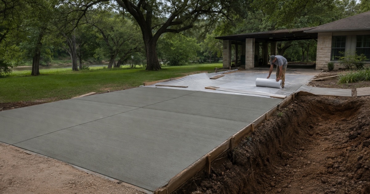
The Guadalupe County Subdivision Regulations define development as all land modification activities, including the construction of buildings, streets, paved storage areas, parking lots, storm water management facilities and other impervious structures or surfaces.
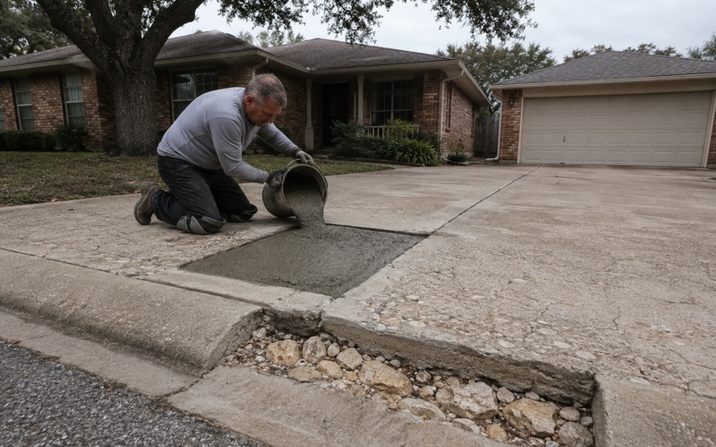
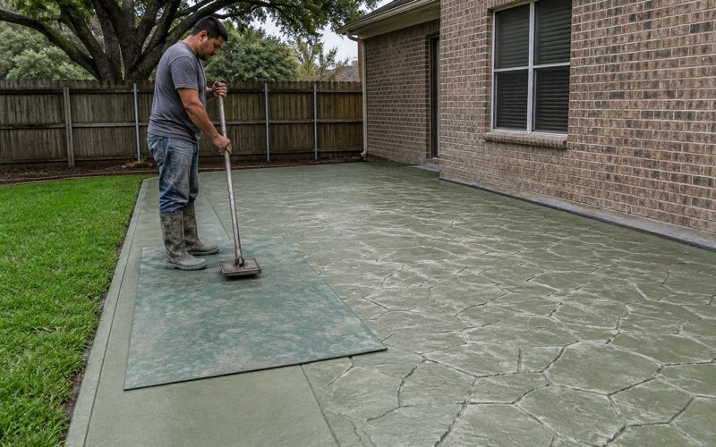
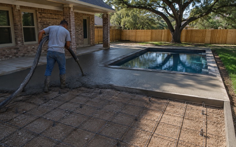
Flatwork is development by that definition. A patio, a shed pad, a widened drive or a boat-trailer parking area placed inside the mapped hazard area falls under the Floodplain Development Permit the county requires, administered by the Guadalupe County Floodplain Administrator under the county’s Flood Damage Prevention Order and FEMA regulations. The identical slab on Zone X ground does not.
Hazard Area, Floodway, and Why the Difference Matters
Not all of the mapped area is equally constrained. Zone AE and Zone A are hazard-area classes; the regulatory floodway is the channel and adjacent land reserved to carry the flood itself, and it is the class where placing fill or structures faces the tightest restriction of all.
Here the floodway alone covers more than a sixth of the place, at 17.36 percent, which is unusually high. A slab that would be permitted with conditions on Zone AE ground can be a much harder conversation a hundred feet away inside the floodway. We establish which class your lot carries before designing, not after.
Elevation, Fill and What a Permit Actually Asks
A floodplain development permit is not a formality with a fee attached. It asks where the concrete sits relative to the base flood elevation, whether the work displaces floodwater, and what it does to conveyance across the site, which is why a floodway lot draws the hardest questions.
That shapes design rather than just paperwork. On hazard-area ground we look at whether a slab can be kept at grade rather than built up, whether fill can be avoided, and whether the same result can be achieved with a smaller footprint further from the channel. Those choices are cheaper to make on paper than to argue after submission.
Reading Your Own Lot Rather Than the Place
Percentages describe a polygon; they do not describe your address. A lot near the water can sit on Zone X ground and a lot set well back can catch the hazard area along a drainage path, and the shaded 0.2 percent annual chance band sits outside the Special Flood Hazard Area entirely.
That last distinction is a permitting one rather than a hydrologic footnote: the floodplain permit attaches to the hazard area, not to the shaded band. We check the mapped classification for the specific parcel and tell you what it means for the work, the paperwork and the timeline before you commit to anything.
Looking for concrete-contractor closer to Manchaca? See Concrete-Contractor Services in Manchaca.
Every Approach Here Is a County Permit
No State Highway Runs Inside the Place
There is no TxDOT on-system roadway anywhere inside Lake Dunlap. FM 725 runs along the boundary, SH 46 and FM 758 lie about a quarter mile off, and Interstate 35 is a mile and two thirds west. Every street inside the place is county-maintained or private.
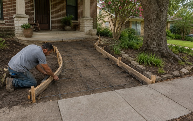
The practical result is that a driveway apron here goes through Guadalupe County Road & Bridge in Seguin rather than through the state. That is a simpler path than the mixed one a few miles away, and it means one set of standards applies rather than two.
County Standards, Widths and Culverts
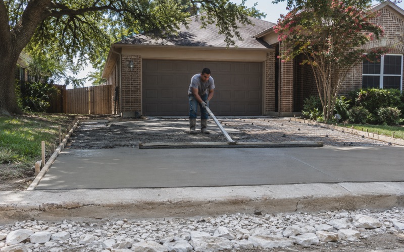
Driveway permits are reviewed against AASHTO design controls and criteria. Minimum private driveway width is 15 feet and commercial 20 feet, driveways extend from the paved portion of the public road to the owner’s property, and minimum driveway culvert pipe is 12 inches in diameter and 20 feet long.
The county’s own concrete specification is quotable where it applies. Section E.7 requires ribbon curb to reach a bottom elevation six inches below the subgrade elevation, eight inches wide with a continuous number three bar, with flexible base under it compacted to not less than 98 percent density tested per TxDOT Test Method Tex-113-E.
Culverts, Ditches and the Part That Actually Fails
On county roads the apron is usually the easy half and the drainage is the half that causes trouble. A culvert set too high holds water in the ditch, one set too low silts up within a season, and either way the driveway is what gets blamed when the ditch stops working.
We set culvert invert levels against the ditch flow line rather than against the driveway surface, and we build the apron to the grade that follows from it. On a place with this much mapped flood ground, keeping roadside drainage working is not a courtesy to the county, it is protection for your own slab.
Where County Authority Stops
The county defines a driveway as an access constructed within a public right-of-way connecting a public street with adjacent property. The portion of your drive on private land falls outside that definition and outside the Road & Bridge permit that attaches to the apron.
There is also no county building permit for detached residential flatwork in the unincorporated county. The Fire Marshal’s permit scope reaches new commercial and public buildings, remodels for a new type of business, business occupancy and multi-family of five or more units, and a residential patio or pad behind the right-of-way line appears in none of those.
Gravelly Loam and Caliche, Not Deep Clay
Queeny Gravelly Loam and a Hardpan Within a Foot
This is river-terrace ground rather than blackland. Mollisols cover 65.00 percent of the place against Vertisols at 25.35 percent, and Queeny gravelly loam alone covers 29.46 percent across two slope classes.
Queeny is a loamy Petrocalcic Calciustoll, and the constraint it brings is a hardpan close to the surface: 29.46 percent of the place carries a strongly coherent petrocalcic restriction at a representative 23 centimeters, about nine inches. On nearly a third of this place, a machine reaches cemented caliche inside the first foot.
Digging Difficulty and Movement Are Inverted Here
The dominant soils are low-movement by the measured numbers. Queeny carries 26.5 percent clay, liquid limit 40, plasticity index 21 and linear extensibility 4.5 percent, at a saturated hydraulic conductivity of 9 micrometers per second, which is 1.28 inches per hour. Sunev, covering 27.39 percent, carries 21.5 percent clay, plasticity index 12 and linear extensibility of only 1.5 percent.
So the ground that is hardest to dig is the ground least likely to move, and the easier digging is where the movement lives. That is the reverse of the pattern across most of the surrounding county, and it means excavation cost and slab design are answering two different questions on the same lot.
What That Means for the Slab and the Drainage
Where caliche is within a foot, footings and grade beams are a hammer or a rock-bucket item rather than a bucket item, and we price that honestly rather than discovering it on the day. Away from it, 62.55 percent of the place records no restriction at all within the profile to 200 centimeters.
Drainage behaves differently too. At 1.28 inches an hour, water actually moves through this subgrade, which is a genuine advantage for a slab. It also means a base layer over caliche can perch water on the pan, so we give it somewhere to go rather than assuming it will disappear.
Working on a Lake That Was Drawn Down for Four Years
The Drawdown Is a Service Condition, Not a Story
The Lake Dunlap dam was built in 1931, and the Guadalupe-Blanco River Authority has operated it since May 1, 1963. On May 14, 2019 the middle spill gate failed and the lake dropped by about twelve feet. Replacement construction was completed on August 31, 2023, with full level restored by October 26, 2023.
For four years, shoreline steps, boat-ramp aprons, bank-edge slabs and retaining structures stood above a lowered water line and were only re-submerged to their design level at the end of 2023. Concrete that spent that period exposed and then went back under water has had an unusual service history, and it is worth looking at rather than assuming.
Bank-Edge Work, Steps and Ramps
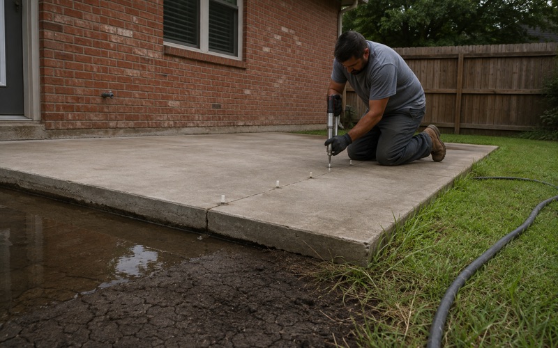
Slabs and steps at a bank edge take erosion at their foundation rather than load on their surface, which is a different failure mode from anything inland. We look at what is under the leading edge before quoting a repair, because relaying a slab over an undermined bank is work you buy twice.
Where the concrete is sound and the support is not, filling the void is usually far cheaper and quicker than replacement. Where the bank itself has gone, that is the job, and the concrete is a consequence rather than the problem.
Manufactured Homes and the Concrete Around Them
Manufactured housing is a substantial share of the stock here, and it brings its own flatwork: carport pads carrying concentrated post loads, runner strips instead of full-width drives, and steps and landings at doors that sit high above grade.
On this ground the good news is that the soil under most of it barely moves. The steps still need founding properly and keeping structurally independent of the home, and on caliche the founding depth is a digging question rather than a movement one. We set riser heights to a consistent dimension, because uneven risers are the trip hazard we see most at these entries.
Scheduling Around a Seasonal Place
A high vacancy share here reflects seasonal and second-home use rather than abandonment, which changes scheduling more than it changes construction. A good deal of work is easier to sequence outside the peak months, and access to a property is often through somebody who is not on site.
We plan around that: confirmed access arrangements, dated work windows and photographs of each stage sent through rather than left for a walk-round. It is a small thing, and it is the difference between a straightforward job and a week lost to a locked gate.
- 20+ Years in Business
- Insured
- Free Written Estimates