San Marcos Elite Concrete works as a concrete contractor in Canyon Lake, where the number that governs almost every quote is how far down the rock is. Across the map units covering 93.1 percent of the place, 69.0 percent of the polygon sits on soil with a root-restricting layer within 50 centimeters, and that layer is limestone rather than a compacted horizon.
The specific depths are worth knowing before anyone gives you a price. Brackett refuses at a paralithic bedrock contact at 36 centimeters, Comfort at a lithic contact at 33, Eckrant at 30 and Real at 36, with rock outcrop components at zero. Twelve to fourteen inches to rock across most of the place is an excavation, trenching and footing condition rather than a bearing problem.
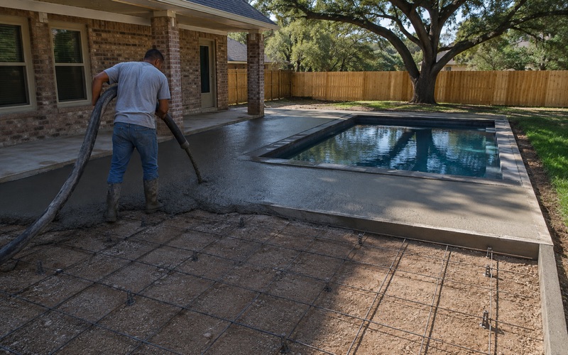
That single fact reorganizes a Canyon Lake job. Bearing is excellent, so the slab itself is straightforward, and the money moves into getting down to the depth the design wants. Twenty years on this corridor has taught us to price that honestly at the start, because rock discovered on the day becomes a change order, and change orders are how this work gets a bad name.
Thirty Centimeters to Refusal, and What It Does to a Quote
Excavation Is the Line That Moves, Not the Concrete
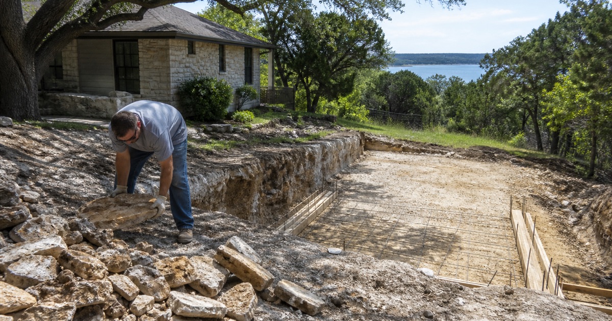
On most jobs elsewhere the concrete is the largest single item and excavation is a modest line beneath it. Here it inverts. Getting a footing, a grade beam or a trench to depth through limestone can cost more than everything poured into it, and the difference between a rippable and an indurated contact is the difference between an afternoon and two days.
So our site visit is genuinely an inspection rather than a measurement exercise. We look at what is exposed, what neighboring work encountered and what the mapped components say, then price rock as rock and name which kind we expect. A bid here with a single flat excavation allowance is a bid that has not been thought about.
Brackett, Comfort and Eckrant Are Three Different Problems
Brackett and Real carry paralithic contacts, meaning weakly to moderately coherent bedrock that ordinary equipment can generally rip. Comfort and Eckrant carry lithic contacts, which is indurated rock and usually means a hammer. Doss sits deeper at 46 centimeters, which sometimes buys enough working depth to matter.
Knowing which is under your lot changes the equipment on the truck and the days in the schedule. We identify the likely component before quoting and say what happens if the ground turns out harder, rather than leaving that as an open-ended hourly rate you find out about later.
Mechanical Excavation When the Fast Way Is Not Available
Around existing structures, near utilities and on the steeper parts of this place, the quick approach is often unavailable and the work becomes methodical: hammer and rock bucket, saw cutting where a clean edge matters, and core drilling for penetrations rather than breaking through.
That is slower and it is not a failure of planning. It is what the ground requires, and pretending otherwise produces cracked adjacent slabs and damaged services. We stage that work so noise and access disruption are predictable, particularly where a property is occupied or a neighbor is close.
Slope Is the Other Half of the Site Problem
Roughly 38.7 percent of the place is mapped on ground steep enough to have a slope range in the map unit name, with 34.10 percent in a unit carrying 8 to 30 percent slopes and a further 4.58 percent in Eckrant-Rock outcrop association on the same range.
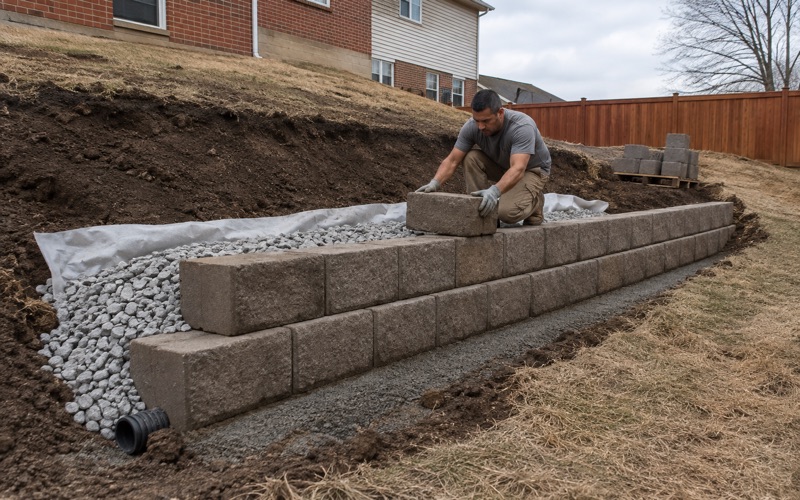
Slope changes everything about access and about how a slab is built. Concrete trucks need a route and a standing position, patios want stepping rather than a deep fill on the low side, and drainage has to be designed rather than assumed. We would sooner step a slab into a hillside than build a wedge of fill under one corner, because fill is what settles later.
Looking for concrete-contractor closer to Seguin? See Concrete-Contractor in Seguin.
This Is Not Expansive Ground, and That Matters
The Numbers Say So Plainly
It is worth stating directly, because assumptions travel: this place does not have a shrink-swell problem. None of the evaluated area is Vertisol-order soil and none carries a representative linear extensibility of 9 percent or greater. Brackett measures 2.6 to 3.3 percent, Real 1.9 to 2.1, Comfort 3.2, Eckrant 4, Rumple 4.4, Doss 5.6 and Bolar 3.
That means a slab here is not fighting seasonal ground movement the way one twenty miles east is. Thickness and reinforcing are sized for load and for span over an uneven rock surface rather than for heave, and joint spacing is about drying shrinkage rather than about soil.
Clay Percentage Is Not the Same Measurement as Movement
Comfort and Rumple carry high representative clay contents at 65 percent while measuring only 3.2 and 4.4 percent linear extensibility. This is the place where those two figures come apart, and it catches people out.
A contractor who sees a clay-rich soil description and reaches for a heave design will over-build the slab and under-plan the excavation, which is the wrong way round on every count here. We design to the measured extensibility rather than to the clay fraction, and put the saved money into getting the base right on an irregular rock surface.
Base and Bedding Over an Irregular Rock Surface
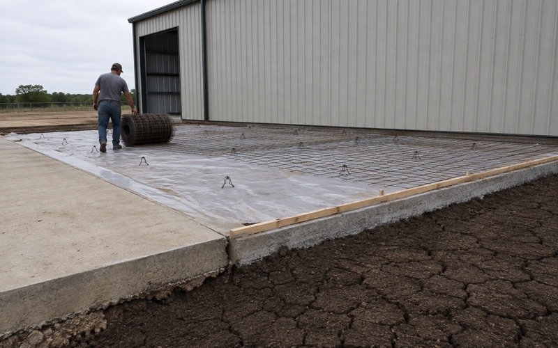
Excavating to rock rarely leaves a flat plane. It leaves a surface with high points and pockets, and a slab poured directly on that bridges between the highs and cracks where it spans a hollow.
So the base course does more work here than usual: bringing the surface to a uniform, compacted plane, filling pockets with material that will not consolidate later, and giving the slab even support across its whole footprint. We measure compaction against proctor density rather than judging it, because a pocket that settles under a rock-supported slab produces exactly the crack the base was meant to prevent.
Permits, Committees and Who Actually Approves the Work
There Is No City Here
Canyon Lake is a census designated place rather than an incorporated city: no city hall, no municipal code, no zoning ordinance and no city building department. Comal County’s published permit list for the unincorporated county carries no building permit for residential construction, and the Fire Marshal’s permits reach commercial, public and multifamily buildings of four or more units rather than single-family work.
That does not mean nothing applies. It means the approvals that do apply come from the county engineer, from TCEQ, and very often from a property owners association, and knowing which of the three is relevant to your job is the useful part.
The County Right-of-Way Permit and Its Pre-Pour Inspection
Work in a county right-of-way runs through the Comal County Engineer’s Office under a PIPROW permit, governed by the county’s public right-of-way order and its Driveway Detail Standard. Note that driveway permitting was moved out of the subdivision regulations and into that order, so an old reference sends you to the wrong document.
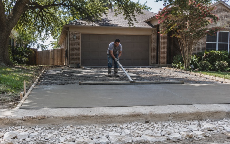
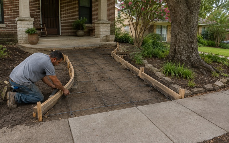
Two features of that process shape scheduling. Concrete driveways require a pre-pour inspection with the right-of-way inspector, so the forms have to be seen before the truck comes. And the permit itself is issued at the end of the job rather than the start: what you get at the on-site meeting is a permit to construct, with the permit following a final inspection the applicant requests in writing.
Read the Current Committee Guidelines, Not Only the Recorded Declaration
In a subdivision here, the driveway standard may live in the recorded covenants rather than in any public code, because the county’s blanket permit route for developers requires a typical driveway standard exhibit and verification that the recorded covenants include it and name who enforces it.
Recorded documents can also be out of step with current practice. The Mystic Shores architectural committee has published that it will allow concrete driveways in units whose recorded declarations do not list them, describing the omission as an inadvertent developer error. That is precisely why we ask for the current guidelines as well as the declaration before designing anything.
Which Aquifer Zone Your Lot Falls In
The whole place sits inside a TCEQ-regulated Edwards Aquifer zone: grid sampling puts 89.4 percent in the Contributing Zone and 10.6 percent in the Recharge Zone, with none outside. The two behave very differently.
On the Contributing Zone a plan is required for a regulated activity disturbing at least five acres or forming part of a larger plan of development or sale, so a single driveway or patio does not trigger one by itself. On the Recharge Zone an approved Water Pollution Abatement Plan is required before construction with no acreage floor, and a site straddling the boundary is treated as if all of it were on the Recharge Zone. We check which side your parcel falls on before quoting.
New Build and Replacement on the Same Street
Matching New Concrete Into Old
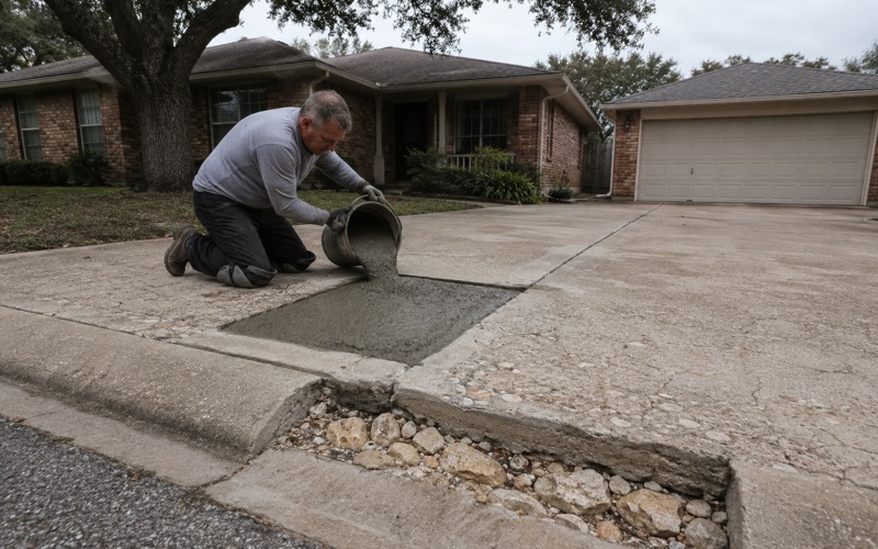
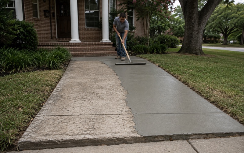
A great deal of the work here is adding to or replacing part of what is already on a property, and the join is the part that decides whether it reads as one surface or as a patch. New concrete gets an isolation joint against the old rather than a bond, so the two are free to move independently instead of dragging each other apart.
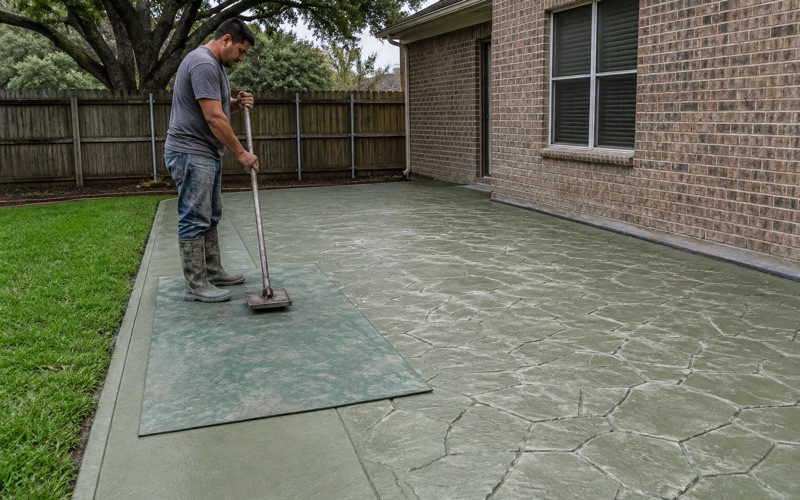
Color will not match at first and no honest contractor will tell you otherwise. New work cures lighter and closes toward the surrounding tone over months to a couple of years. Where appearance matters more than cost, resurfacing both with a single overlay gives a uniform result, and we price that alongside the partial repair rather than assuming.
Replacing Flatwork That Was Poured Over Rock
Removing a slab founded on an irregular limestone surface is not the same job as breaking out a slab on soil. The concrete is often keyed into pockets in the rock, so demolition is slower, and what is exposed underneath is rarely a surface you can pour straight back onto.
We budget the re-preparation rather than treating removal as the whole cost. Pockets get filled with material that will not consolidate, the surface is brought back to a uniform compacted plane, and the new slab gets even support across its footprint instead of bridging the high points the old one left behind.
Drives on Steep Approaches and Turnarounds
Grade is the constraint on a lot of driveway work here, and it is a usability question rather than an aesthetic one. A drive steep enough to scrape a bumper at the transition, or one that cannot be reversed out of safely, is a daily annoyance no finish compensates for.
We look at the transitions at both ends, at where a vehicle turns around, and at where water runs when the drive becomes the shortest path downhill. Turnarounds and widened passing points cost less to include at the design stage than to add afterward, and on a steep, rocky lot adding them later means excavating twice.
Documentation on a Property You Are Not Always At
A good deal of property here is second-home or seasonal, so the owner is often not present while the work happens. That changes what we owe you rather than what we build.
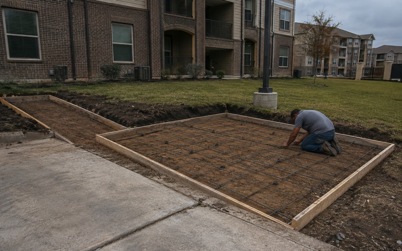
We photograph subgrade, base, forms and steel before each pour and send them through as the job runs, along with dated stages and the delivery ticket for every load. It means the record of what went in exists whether or not anyone was standing there, which is worth having on any slab and particularly on one you will not see finished for a fortnight.
- 20+ Years in Business
- Insured
- Free Written Estimates