San Marcos Elite Concrete works as a concrete contractor in Bee Cave, where the hardest constraint on a patio is usually not the ground under it but how far it has to sit from water. The Unified Development Code sets a water quality buffer zone of at least eighty-five feet from the outer limit of the peak two-year flood level on each side of an upland waterway with at least thirty acres of contributing drainage.
Eighty-five feet is a serious setback, and it is the largest routine constraint on flatwork anywhere in our service area. Along Little Barton Creek and Barton Creek the figure rises to a minimum of three hundred feet on each side, and a critical environmental feature buffer extends a minimum of one hundred and fifty feet around the feature.
Those numbers remove real area from a back yard, and they are measured in a way people do not expect. Twenty years on this corridor has taught us that the useful conversation here happens before anyone draws a patio, because a design that ignores the buffer is a design that has to be redrawn.
Eighty-Five Feet, and What It Takes Out of a Yard
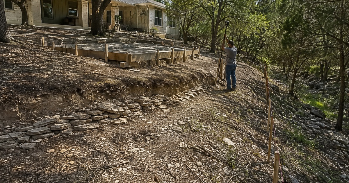
Measured From the Peak Two-Year Flood Level
The buffer is not measured from the bank, from the water’s edge or from a property line. It runs from the outer limit of the peak two-year flood level, on each side of the waterway, which is a hydrological line rather than a visible one.
That means the distance you would pace out from the creek and the distance the code actually requires are usually different, and the code’s version is larger. We establish where that line falls before laying out anything near a watercourse, because moving a patio on paper costs nothing and moving one after a submission costs a season.
What an Upland Waterway Actually Is
The code defines the term rather than leaving it to judgement: an upland waterway is a defined waterway that is a tributary to Little Barton Creek, Barton Creek or the Colorado River. The eighty-five foot buffer attaches to one carrying at least thirty acres of contributing drainage.
The thirty-acre threshold is the part worth checking, because a channel that runs only after rain can still qualify. A drainage feature at the bottom of a yard that nobody thinks of as a creek can be an upland waterway under this definition, and it is far better to find that out at the design stage.
The Watershed Divide Running Through the City
Bee Cave straddles a watershed divide, and the code acknowledges it directly in how the two drainages carry different buffer widths. Which side of that divide a property sits on changes the number, and it is not obvious from a street address.
So the buffer question here has two parts: is there a qualifying waterway, and which drainage does it belong to. We work both out for the specific parcel rather than applying the smaller figure and hoping, because the difference between eighty-five and three hundred feet is not one you can absorb.
Critical Environmental Features and the Buffer Around Them
Critical environmental features under the code expressly include steep slopes in excess of twenty-five percent, groundwater recharge areas, springs, wetlands, bluffs and caves, with a bluff defined as a vertical change in elevation of more than forty feet at an average gradient greater than four hundred percent.
Each of those carries its own buffer of at least one hundred and fifty feet. On the hillier parts of this city, a slope feature can constrain a site independently of any creek, so we look for both rather than assuming water is the only trigger.
Looking for concrete-contractor closer to Redwood? See Concrete-Contractor in Redwood.
Impervious Cover Is the Second Constraint
Forty Percent, and Sixty on Older Sites
New development may not exceed forty percent impervious cover expressed as a percentage of net site area. Redevelopment of sites developed before the relevant ordinance may reach a maximum of sixty percent, either by surveying existing impervious cover, where a percolation test may be required to validate more than forty percent, or by an approved transfer of impervious cover.
Every patio, drive, walk and pad counts toward that figure, which makes an addition a cover calculation before it is a concrete quote. We work out the added area against your net site area first and tell you where it lands, because that determines whether the project is straightforward or needs a different approach.
Cover as a Tradeable Asset
Impervious cover here is unusual in being transferable. The city has approved certificates of transfer of impervious cover credits by resolution, and multiple planned development district ordinances reallocate cover between lots.
That is genuinely useful to know before quoting an addition on a commercial lot, because a project that looks blocked by a cover limit may not be. It is not a route we can arrange for you, but it is one worth raising with your planner before abandoning a design.
Water Quality Volume Scales With What You Pave
The volume of water quality control required is not fixed. The minimum is the first half inch of runoff plus an additional tenth of an inch for each ten percentage point increase of gross impervious cover over twenty percent of the contributing drainage area.
The dominant soils here carry hydrologic soil group D, the low-infiltration group, which is what drives that arithmetic on a site plan. So added paving costs twice on a commercial site: once in cover and again in the detention volume it generates.
Cut and Fill Capped at Four Feet
Cuts or fills on a tract may not exceed four feet of depth, except in a roadway right-of-way, for a building foundation or swimming pool, or for a water quality control or detention facility meeting stated conditions. A cut or fill finishing steeper than thirty-three percent must be stabilized with a permanent structure.
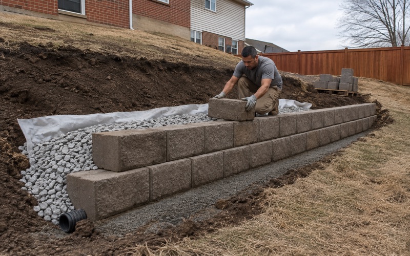
On sloping ground that cap shapes how a patio or drive is built, because the usual answer of cutting into the hill or building the low side up has a hard limit. Stepping a slab, using retaining structures within permitted heights, and designing to the existing grade become the practical routes, and a retaining wall over four feet needs its own permit.
The Ground: Rippable Rock, Deep Loam and a Flood Strip
Brackett at Fourteen to Eighteen Inches, and It Rips
The dominant condition is shallow calcareous loam over weakly coherent rock. Brackett-Rock outcrop complex on 1 to 12 percent slopes came back at 58.3 percent of systematically sampled interior points, with Brackett-Rock outcrop-Real complex on 8 to 30 percent slopes at a further 11.8 percent.
Brackett’s restriction is paralithic bedrock described as weakly coherent at a representative 46 centimeters, about eighteen inches, in the shallower-slope unit and 36 centimeters, about fourteen inches, in the steeper one. That is rippable rock rather than indurated ledge, and the distinction is a real cost difference to an excavator.
Where the Refusal Is Hard Instead
Eckrant is the other story. Where it is mapped, refusal is indurated lithic bedrock at a representative 20 centimeters, about eight inches, with plasticity index 34, liquid limit 63 and 50 percent clay but linear extensibility of only 2.8 to 5.1 percent.
Rock outcrop is a mapped component rather than a surprise: 20 percent of the dominant Brackett map unit and 25 percent of the steep-slope unit, with indurated bedrock recorded at zero centimeters. We identify the likely component before quoting and say which kind of excavation we expect rather than leaving it open-ended.
Volente, and the Deep-Soil Exception
About 13.3 percent of the city is mapped as Volente silty clay loam, and it is a different problem entirely. Volente is a fine, mixed, active, thermic Pachic Haplustoll with no bedrock restriction recorded through 150 centimeters, hydrologic soil group C rather than D, plasticity index 24 to 29, clay 36 to 43 percent and linear extensibility 4.0 to 5.6 percent.
Deep soil, moderate movement and no refusal is close to the opposite of the rest of the city. On a Volente lot the excavation is easy and the design attends to moderate movement instead, which is why we check the mapped unit rather than pricing Bee Cave as one thing.
Reading Plasticity and Extensibility Together
Brackett carries a plasticity index of 17 to 18 with linear extensibility of only 2.3 to 3.3 percent and 60 to 65 percent calcium carbonate through the profile. Eckrant carries a plasticity index of 34 with extensibility under about 5 percent.
High plasticity with low linear extensibility is the normal condition in these calcareous profiles, and either number reported alone misdescribes the ground. Reporting plasticity alone overstates the heave problem; reporting extensibility alone understates how stiff and rocky the trench is. We read them together and design accordingly.
Permits, Districts and the Contributing Zone
Flatwork Has Its Own Permit Line Here
Bee Cave carries a specific flat work permit for driveways, sidewalks, parking lots and similar, with its own line in the fee schedule. A retaining wall over four feet, major dirt disturbance, and a deck over 200 square feet or standing more than thirty inches above grade each trigger a permit as well.
All contractors and subcontractors must also register with the city annually. There is no separate concrete or flatwork registration category, since Texas issues no state license for concrete contractors, but the registration requirement itself is not optional.
Contributing Zone, and What Actually Triggers a Plan
Of eighty-five systematically spaced interior points tested against the TCEQ Edwards Aquifer map layer, seventy-one returned Edwards Aquifer Contributing Zone and fourteen returned no Edwards zone at all, so the zone boundary crosses the city rather than enclosing it. No point returned Recharge Zone or Transition Zone.
On the Contributing Zone, a plan is required for a regulated activity that disturbs at least five acres or forms part of a larger plan of development or sale. A single residential driveway or patio does not disturb five acres by itself, so what usually decides the question is whether the work belongs to a larger development. We check that specifically rather than giving a blanket answer either way.
Planned Development Districts and Their Own Cover Ledgers
The nonresidential half of this market is organized as planned development districts, each with its own ordinance and its own impervious cover ledger. Commercial flatwork inside one of those developments is governed by that project’s ordinance rather than by base zoning.
Several of those ordinances contain express language about abbreviated applications for flat work and parking lot modifications that do not increase overall project impervious cover, which can make a repaving or repair project considerably simpler than it first appears. Establishing which district a site sits in is the first thing we do on a commercial quote here.
Trees, Lighting and the Things That Delay a Finished Job
A residential tree removal permit is required at no charge and a nonresidential one carries a fee, with unpermitted removal charged per caliper inch. Where a slab or a drive requires a tree to go, that approval sits ahead of the work.
Bee Cave has also been an International Dark-Sky Community since April 2023, with a dedicated lighting section in its code, so anything adding fixtures to a driveway, walk or patio has a lighting standard behind it. Recorded deed restrictions and a homeowners association can apply on top of all of it, even where a city permit is not required, and we ask for those before drawings rather than after.
- 20+ Years in Business
- Insured
- Free Written Estimates